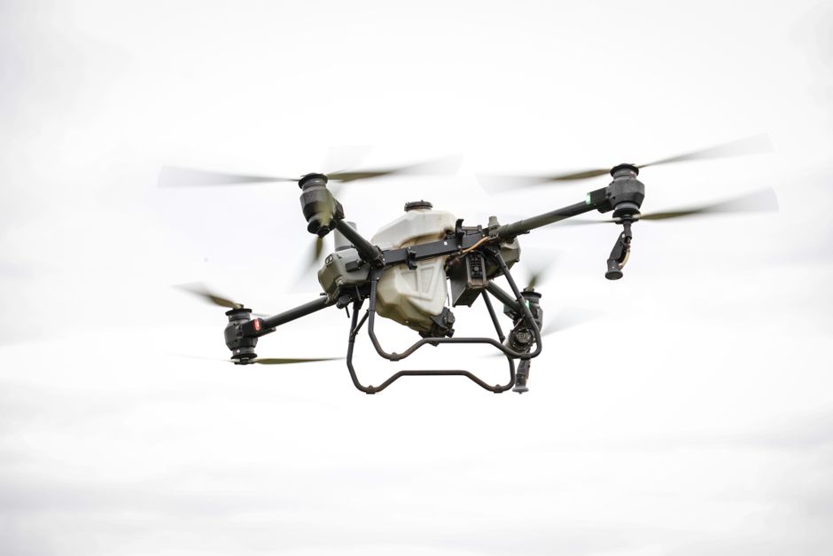
Mapping and analyzing the Earth’s surface has always presented challenges, especially in remote or hazardous locations. Geological surveys carried out with drones are changing how geologists and commercial operators approach these tasks. By combining aerial technology with advanced imaging, drones are improving safety, efficiency, and data quality in the field.
Faster and Safer Data Collection
Traditional geological survey methods often require teams to navigate rough terrain, climb steep slopes, or access areas after natural disasters. Surveillance drones allow operators to gather high-resolution images and geospatial data without putting personnel in harm’s way. With a drone, you can map a landslide site or volcanic landscape from above, reducing both time and risk. The ability to conduct comprehensive aerial surveys in a matter of hours, rather than days, streamlines project timelines and minimizes disruption.
Comparing UAVs and Drones in Geological Applications
The terms “UAV” (unmanned aerial vehicle) and “drone” are often used interchangeably, but in geological work, the distinction can matter. UAVs typically refer to all unmanned vehicles, including planes and helicopters, while drones often mean compact, multi-rotor craft designed for specific tasks. In geological surveys, drones are prized for their maneuverability and ease of deployment on rugged sites. Their ability to fly low and slow gives them an edge when detailed imaging or spot inspections are needed. The choice between a fixed-wing UAV and a multi-rotor drone depends on the size of the area, the type of data required, and environmental factors like wind and elevation.
Unlocking Value in Commercial and Utility Inspections
Commercial drones have expanded the possibilities for geological and utility inspections. Mining companies, for example, use drones to monitor stockpiles, assess slope stability, and track changes over time. Power and utility firms deploy them for drone utility inspection, such as checking pylons, pipelines, or substations in areas that are otherwise hard to reach. These applications speed up maintenance schedules and help companies identify potential issues before they become critical, reducing downtime and repair costs. The use of drones also supports environmental monitoring, making it easier to track land changes or spot unauthorized encroachments on protected sites.
Enhanced Security and Surveillance Capabilities
Security is another important aspect of geological survey work. Sites with valuable resources, such as quarries or mines, require continuous monitoring to prevent trespassing or theft. Surveillance drones can patrol large tracts of land quickly, providing real-time video feeds and thermal imaging for after-dark operations. Their presence acts as a deterrent, while their advanced sensors help security teams respond to incidents more rapidly. When considering a drone fleet for security, it is worth exploring systems designed by Acecore Technologies, known for their robust build and adaptability in challenging environments.
Where to Learn More About Drone-Based Survey Solutions
Aerial surveying technology evolves quickly, and keeping up with the latest advancements is crucial for professionals in geology, mining, and infrastructure. For those seeking more information on integrating drone systems into their workflow, look for comprehensive guides on drone inspection techniques, regulatory requirements, and practical deployment strategies. Many industry associations and training centers offer deep dives into sensor selection, flight planning, and data analysis tailored to your field.